With the holidays over and children head back to school, Penny at the Kernow Weather Team looks back on what the summer break had to offer – and it wasn’t all sunshine and blue skies. Over to you Penny.
Well, August certainly wasn’t wall to wall sunshine. West/northwesterly winds played a big part along with a low jet stream. But during the first few days of August we saw thunderstorms break out. This led to a little storm chase during the evening of Monday the 5th, but this only lasted a few hours. Thick mist and fog covered the north coast, but skies were clear to the west. It brought a bit of excitement for a time, believe me. There was plenty of rain mist and fog over the coming days, with many of us still waiting patiently for an actual summer.
Ex hurricane Debby buckled the jet stream, high pressure over Europe brought a surge of warm muggy air from the continent. Unfortunately for us, it left mist fog and mostly cloud in its wake while the SE of the country baked in hot sunshine. Mind you, if you’d blinked, you would’ve missed it anyway.
Temperatures were below average at times for August, mostly in the high teens, with even a low of 12°C during the day recorded.
At the end of the month, along came a named storm. Storm Lillian, broke records for the 12th named storm of the season. The storm departed northern England and didn’t affect Cornwall as such, but it was the weather fronts that came with it that brought us wind and rain, with wind speeds up to 60mph recorded.
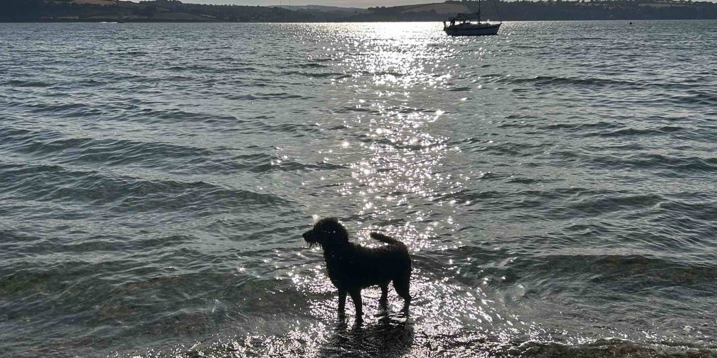
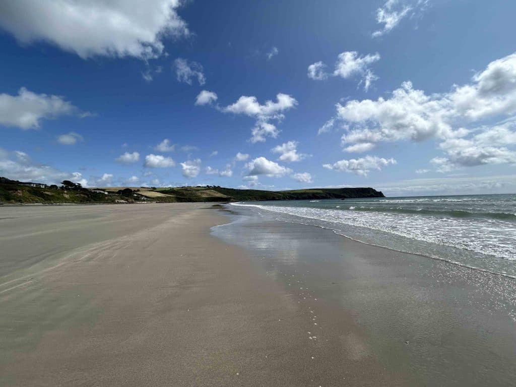
Elsewhere, our Hannah has been busy with our sister page, Oceanic Wave, along with our oceanic-wave.com website, which Dave is continuously updating. Go take a look.
Looking into the beginning of September, high pressure looks to take hold, but I’m sure this won’t last long. Let’s hope for some nice days before the Atlantic conveyor belt kicks in.